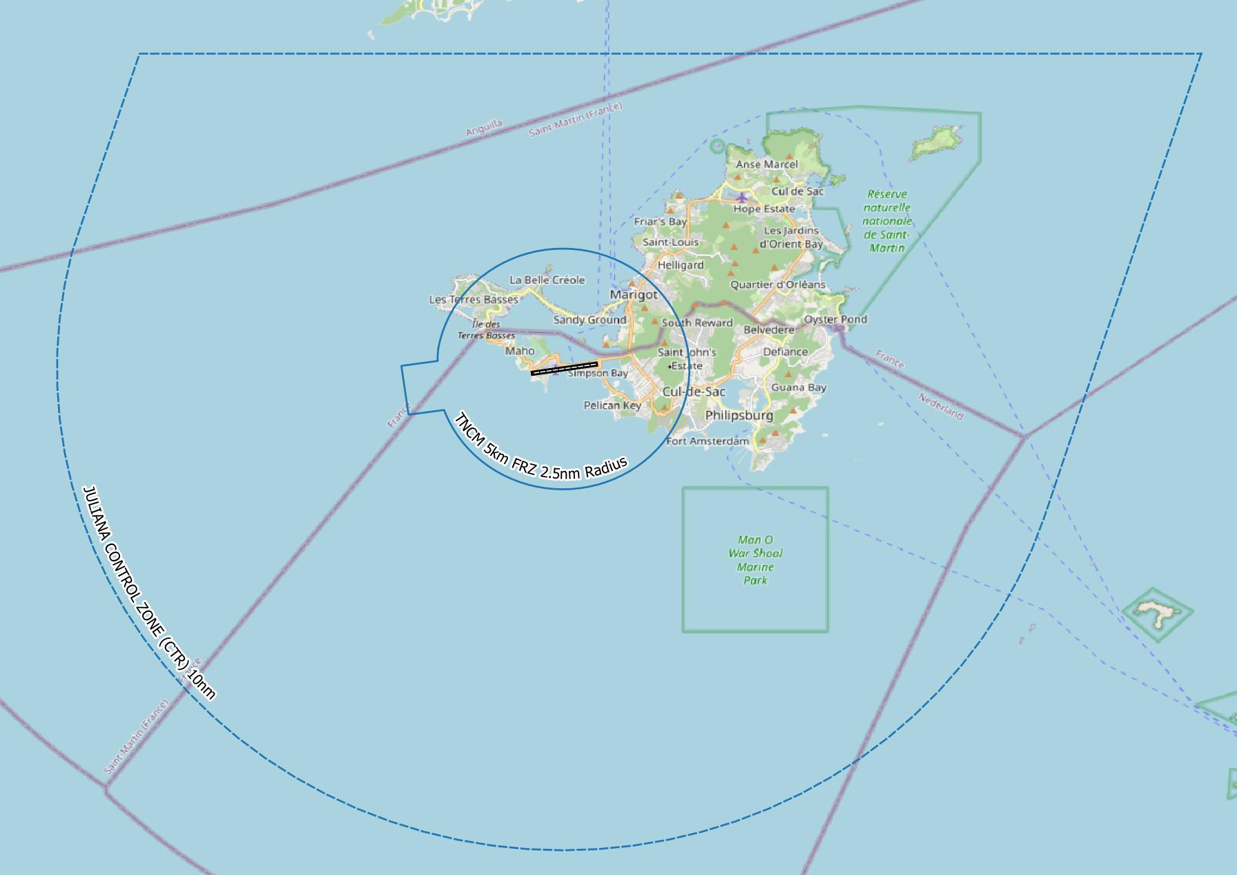
Just completed a quick task to digitise an FRZ for St Maarten for drone operations from a Super Yacht anchored off the coast and within the CTR.
Most yachts are flying drones for media and as a play thing for the charters.
The FRZ didn’t exist so had to use the Aeronautical Information to map the CTR and then develop a 2.5nm ATZ and related FRZ.