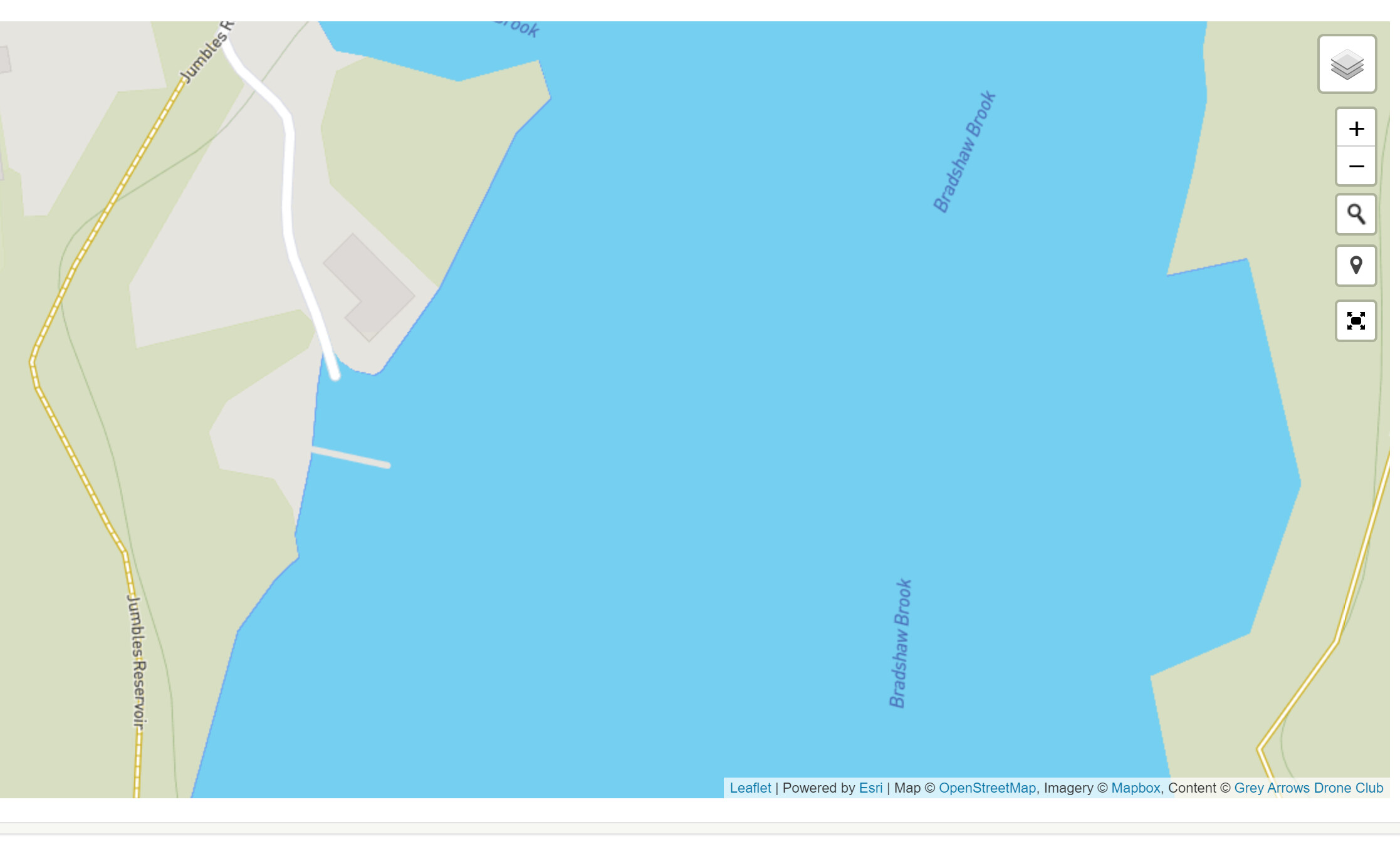
On Sunday 18th. February 2024 I visited the Jumbles Country Park which is just to the North of Bolton, Lancashire UK. I inadvertently had a near mishap due to my neglect in surveying the area beforehand and the light glare on my screen obliterating my view of the power lines.
This happened:
This gave me a scare at the time and also taught me a lesson.
It did not show up on the map on my console either. As I originally stated, I hold my hand up. I am doing something wrong. Whatever it is it is my fault, I would like to know how I can improve and pass my experience on to others.
I thank you for your interest HantsFlyer and thanks for replying to my post, and thanks for your guidance.
I am unable to select these. It is telling me to upgrade to do so, for which it appears I have to pay a fee of £16 per year. I have definitely seen other maps with the flight restrictions where I don’t have to pay a fee? I should have been looking there perhaps. Thanks again for advising. Davent.
Had a look on altitude angel - they’e all showing up on there. Straight across Jumbles reservoir. you were absolutely dead lucky with that one… Altitude Angel is free on the App Store.
I guess one takeaway from this is that checking the app (whichever one you use) is only the first step. Even with all the layers unlocked, things might’ve changed since the data was gathered so you always need to have a proper look around for any hazards/risks before you take off… and then keep having that look whilst you’re flying.
Even then, accidents happen… and £16/year for £5,000,000 public liability insurance is pretty good value for money.
Good for you for flagging it up, accepting the error and sharing with others. We all make the odd mistake along the way and they hopefully lead us to learn more / do the relevant checks next time.
BTW I’m v surprised you didn’t lose connection with the drone given how close you were to the cables
Safe & happy flying @Davent !