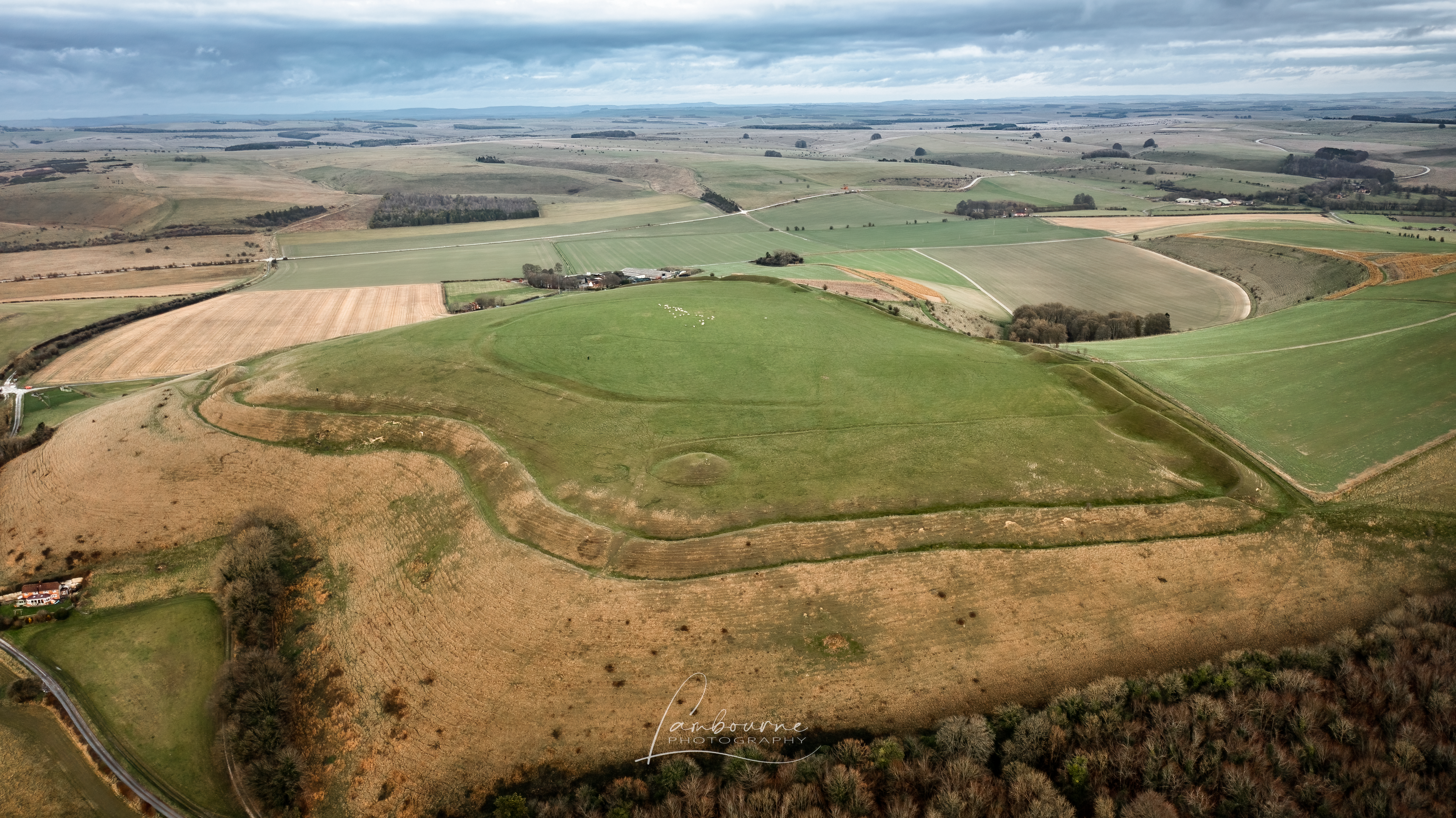
TOAL from the top of the hill, about a 20 minute walk up the hill from the car park.
The originator declared that this location was not inside a Flight Restriction Zone at the time of being flown on 28/12/2021. It remains the responsibility of any pilot to check for any changes before flying at the same location.
Maybe I dont understand as Im new to drone flying, but when I look at this location on the where to fly map its slap bang in a red military zone! All other apps/maps etc I check mark it as a no fly zone too.even the dji map
That’s good to know as I live right on the edge of salisbury plain under the Westbury White horse. Though I wouldnt fly directly there as a lot of paragliders. I bought it really for upcoming camp trips to Dartmoor, Cornwall and Scotland. But I wanted to try and get some experience locally first.