On dronescene /drone assist it says ’ An area that the regulatory authority has declared to be a no fly zone for drones. ’
On the DJI Fly App map it it’s classed as an Enhanced Warning Zone but not Restricted Zone which means you just acknowledge the pop up warning message when taking off.
I’ve emailed the CAA for clarification because it appears to me DJI are classing most of this area unrestricted when it clearly shows on dronscene/drone assist it is restricted.
Wrote this a long time ago - worth reiterating (and updating for the advances in Drone Scene … and the fact that NATS stepped aside from Drone Assist).
It’s gone now!!! I should have taken a screengrab.
Just to the south of the choppers moving things there was a NOTAM advising all aircraft to please keep clear of the area for SAR teams, I swear it was there
We normally have a whinge about the DJI made up maps but at least this year they have flagged the Bournemouth Sea front as restricted for the up coming airshow.
I take it the event organisers must have contacted DJI?
Who remembers the idiot last year who was flying a Mini 3 as aircraft were flying by at very low level claiming to police it was just a toy when it was seized…
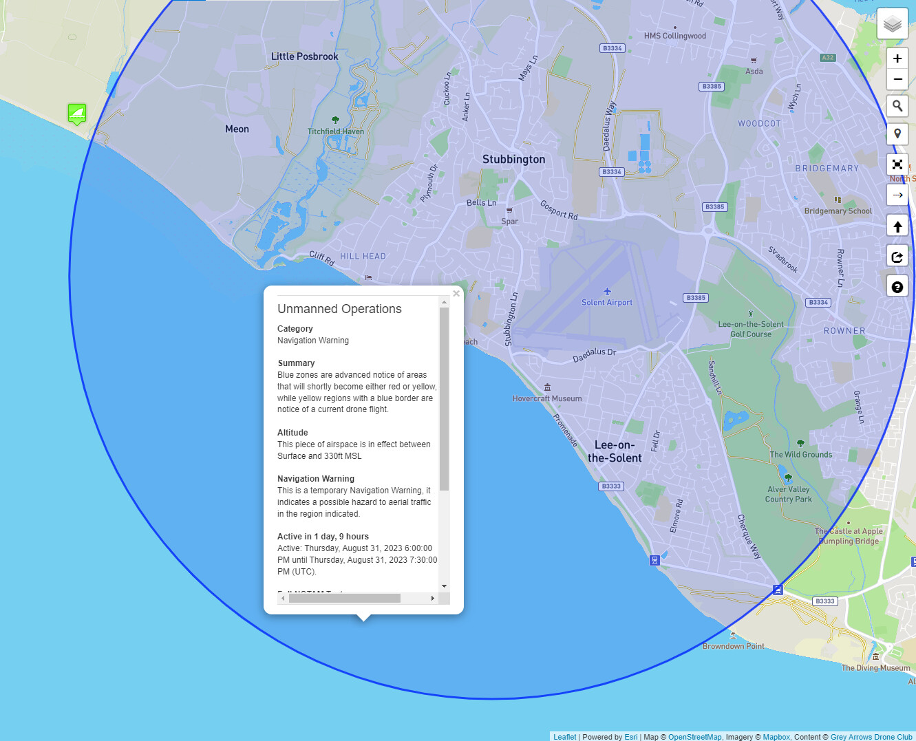
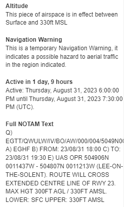
If Im correct this is the same op where a huge swath of water between Lee-on -Solent to Calshot was coloured in blue a number of month back on two occasions but in the early hours of the morning.
Interesting recreational up and coming flights straight across into the City of London restriction zone. A proper one, not a made up DJI Micky Mouse map!


 (… other than it’s a tad early.)
