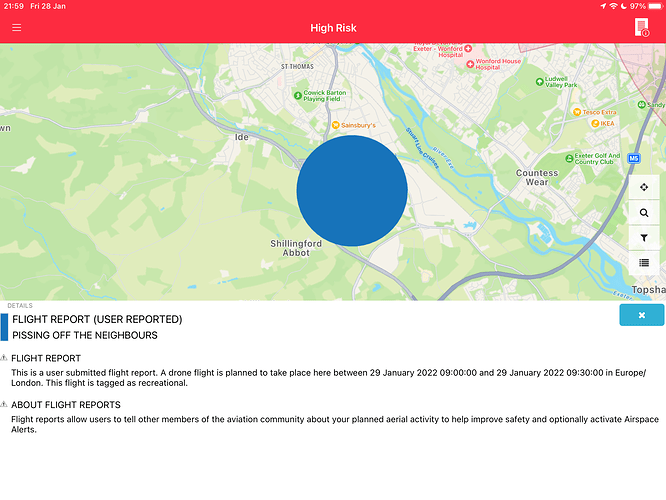
It a flight school.
First time posting so apologies if this is very run of the mill!
Spotted this notification for a Weather balloon launch in Lancashire
Rather odd shaped NOTAM for tomorrow near me. Wish I was around to see what was going on. The bottom part of this appears to be along the Settle and Carlisle Railway in the Ribblehead area but I’m not aware of any engineering works taking place.
Im guessing dropping or picking stuff up, did the restoration works get fully completed?
Not been up for a few weeks unless you count going over it on a train as part of my job. I know the work on the viaduct is finished but not sure if there is anything to take away having finished that work. If i can drag my backside out of bed in the morning i might have a ride up.
Maybe a seven axle crane, with an escort, moving on a single track road and being painted yellow… perhaps?

Look at this!
Anyone would think it was the royal family in a helicopter or something 
Temporary restricted area
Category
Temporary Flight Restriction
Summary
Blue zones are advanced notice of areas that will shortly become either red or yellow, while yellow regions with a blue border are notice of a current drone flight.
Altitude
This piece of airspace is in effect between Surface and 4000ft MSL
Temporary Flight Restriction
This is an official ‘No Fly Zone’ (a Temporary Flight Restriction) and it applies according to the following criteria, in the region indicated by the boundary shown.
Active in 2 days, 42 minutes
Active: Sunday, January 23, 2022 11:26:00 AM until Sunday, January 23, 2022 12:46:00 PM (UTC).
Full NOTAM Text
Q) EGTT/QRTCA/IV/BO/W/000/040/5209N00004W049 A) EGTT B) FROM: 22/01/23 11:26 C) TO: 22/01/23 12:46 E) RESTRICTED AREA (TEMPORARY) FOR HEL FLIGHT. AIS BRIEFING NOTE, WHICH INCLUDES A CHART WILL REFER. RESTRICTION OF FLYING REGULATIONS HAS BEEN MADE UNDER ARTICLE 239 OF THE AIR NAVIGATION ORDER 2016. AREA A. BETWEEN 1126-1246 HR NO ACFT IS TO FLY BELOW 2500FT AMSL WI THE AREA: 513612N 0001803W - 514830N 0001506W AND 515045N 0000929W THEN THE ANTI-CLOCKWISE ARC OF A CIRCLE HAVING A RADIUS OF 8NM WHOSE CENTRE IS AT 515229N 0002206W BETWEEN 515045N 0000929W AND 515611N 0001037W THENCE BY STRAIGHT LINES JOINING SUCCESSIVELY THE FOLLOWING POINTS 515611N 0001037W - 520002N 0000824W - 520127N 0000000E - 515146N 0000006W - 514550N 0000316W - 513610N 0001001W AND 513612N 0001803W. AREA B. BETWEEN 1126-1246 HR NO ACFT IS TO FLY BELOW 4000FT AMSL WITHIN THE AREA: 520002N 0000824W - 520607N 0000650W - 521105N 0000330W - 521105N 0000528E - 520608N 0000201E - 520127N 0000000E AND 520002N 0000824W. AREA C. BETWEEN 1126-1246 HR NO ACFT IS TO FLY BELOW 4000FT AMSL WITHIN THE AREA: 521105N 0000330W - 525216N 0002601E - 525034N 0003308E - 521105N 0000528E AND 521105N 0000330W. THESE REGULATIONS DO NOT APPLY TO ACFT FLYING IN ACCORDANCE WITH A PERMISSION ISSUED BY FARNBOROUGH LOWER AIRSCE RADAR SER NORTH, TERMINAL CONTROL CENTRE SWANWICK, LUTON AIRPORT, STANSTED AIRPORT, RAF SWANWICK OR ATC AT NORTHOLT, MARHAM, LAKENHEATH, ESSEX RADAR AND CAMBRIDGE AIRPORT OR IN THE SERVICE OF THE NATIONAL AIR POLICE SERVICE, MARITIME AND COASTGUARD AGENCY OR HEL EMERGENCY MEDICAL SERVICES. RESTRICTIONS ALSO APPLY TO ALL ACFT INCLUDING SMALL BALLOONS, KITES, SMALL UNMANNED AIRCRAFT AND ANY PARACHUTE INCLUDING PARASCENDING PARACHUTES. 2022-01-0233/AS6 LOWER: SFC UPPER: 4000FT AMSL
NOTAM ID
EGGN/J0175/22
There were six similar temporary restrictions last year (long helicopter routes), most of them associated with Balmoral or Sandringham. It’s almost like they want to paint a target on them.
“Purple Airways” as I recall them being called, have been around since forever.
What I find interesting about these is that these are all backed by individual laws. Every time the Cambridges decide to fly to and from their private home, some civil servant has to draft actual legislation and a Minister has to sign it into law. Which will apply for no more than about an hour and a half.
https://www.legislation.gov.uk/primary+secondary?title=restriction%20of%20flying%20helicopter
There really ought to be a better way of dealing with this than having to write an actual law every time a particular private citizen chooses to fly to or from their private home.
They should just use Drone Assist to log it. 
Probably the Cambridges, who live at Anmer Hall in the grounds of Sandringham.
Genuine question, what’s the most ‘green’ way of doing that route?
Horse, bike or shanks pony.
Train. Her Maj used to use the normal train from Kings Cross to Kings Lynn for her yearly visit to Sandringham.
One day my son got on the train at Downham Market to go to college at Kings Lynn and the queen was sitting in 1st class. He didnt realise untill they wouldnt open the doors to scum class untill her maj was safely ushered off the platform.
Turns out it was Her Maj on her way to Sandringham. https://www.bbc.co.uk/news/uk-60101749


