From an average spread of 22 satellites , that’s a lot to lose so quickly.
Even were it perfectly inverted and high, the satellites near the horizon (below 30° ) would probably still connect, and unlikely to be so few.
Chances are, high in a tree, it would be dangling half-cock with more than 6 clearly visible.
Perhaps people could try with their Mini2s, in clear open space, and see how many are connected when it’s the correct way up and then invert it, somehow, still in the air, and see how many are lost.
It would need to be out in the countryside … in a garden the horizon satellites wouldn’t be well connected the correct way up due to houses, etc.
Looking to my Pocket 2 footage, I did record the time when I arrived at the crash site for the first half hour. This is a poor screenshot of the video at one of the times the drone reconnected, whilst on foot. I know it’s not clear, but you can make out the battery icon (which showed 49%) and amber transmission signal bars. Which will only show if the drone is connected. The red text in the top left of the screen showed “Unable to turn motors”.
Ive downloaded the flight video and scanned through it multiple times but I cant find anything conclusive. Just a thought Chris, have you got any flight logs from when it reconnected? There might be some clues in there like altitude (is it in a tree or on the ground) or maybe updated gps coordinates?
Further back up the thread, you’ll see where Chris tried to find any logs for the reconnections - but none found.
Also, if you look back up, you’ll see the 6 satellite location is a bloody impossible miles away within a small amount of time of a good 18 satellite location … so, chances are, any reconnection would have a similarly compromised location to the final one in the log.
datetime(utc)
latitude
longitude
satellites
18/02/2022 10:31:09
51.49564039
-1.782993708
18
18/02/2022 10:42:28
51.49564961
-1.782977296
18
18/02/2022 10:42:28
51.46059413
-1.711325555
6
(I may have mentioned 22 satellites above, instead of 18 … 22 was in the other SAR exercise yesterday. LOL!)
In the end … there’s a finite amount of distance it can have travelled from the ~68m height above ground in the time available.
Yeah its a long shot I know but was just thinking if it had crashed upside down in a tree and lost satellites to give last known location but then in the high winds been blown out of the tree and landed in a better position for sat lock in the time it took Chris to get to the location it may have given a more solid last location. Clutching at straws but I guess its irrelevant if there are no newer logs to go by
This is the downside of the Mini 2 isn’t it…though of course there’s a finite distance, being <249g it’s going to be carried by the wind that much further than a bigger drone, so the search area is that much bigger.
I really do hope Chris that you find it soon, what crazy conditions to be searching in though. I don’t suppose they could be much worse, other than if it was snowing, with the snow burying the drone! Keeping my fingers well and truly crossed for you
Just put this together after playing back the Pocket 2 footage at the site. The timestamps count from when I arrive at the site. The red lines are the search paths but no reconnections, the green path shows the RC reconnecting. I am sure it reconnected 5 times all around the same area, but I only appear to have 3 times recordeded on the Pocket 2.
Note: the lines up down in parellel are actually me going up and down the same track - but I had to space them out when drawing this. Also note that the last timestamp is 32:45, although I continued on after this, but to no avail. I searched half way along the road to due East at the junction, and back into the Field A, the field where the Mini 2 disconnected during flight.
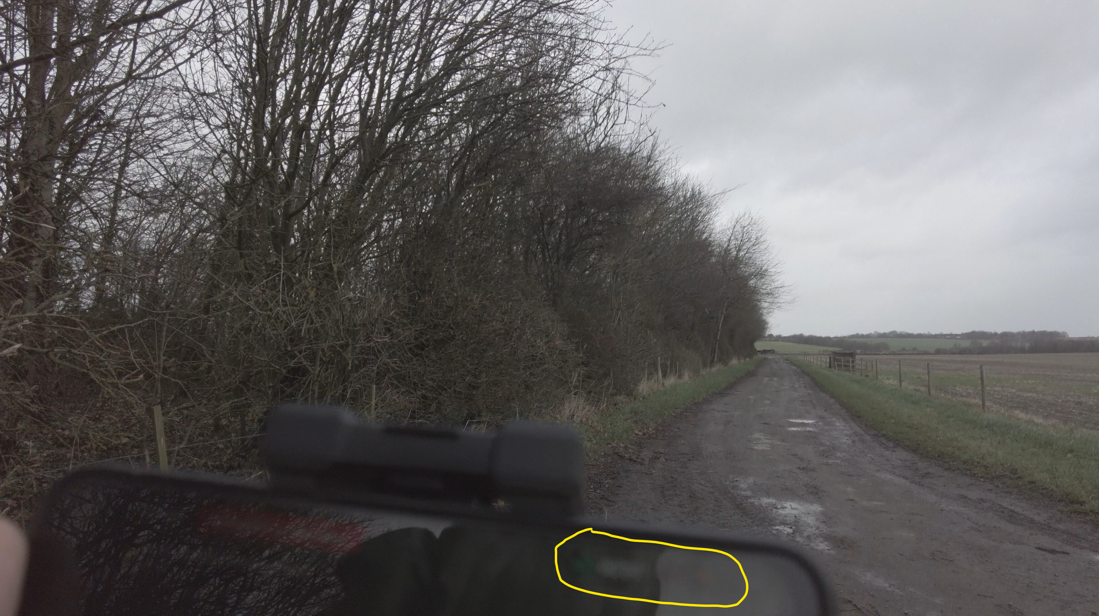
Yes they do. I walked from the T junction following the predicted flight path, to the opposite end of the field. I then did the same but using the M2P. You can see my footprints, and the trees that @SirGunner is referring to.
The weird thing is that it failed to reconnect when going back to the same spot. I am guessing it could have either fallen from where is was, or the battery died. Also note though that it did not reconnect at all when walking up the West side of the trees (in the field with the cows).