It’s not a coincidence that the NATS app and Drone Scene agree on this … it’s because both use the officially approved data for such info, from Altitude Angel.
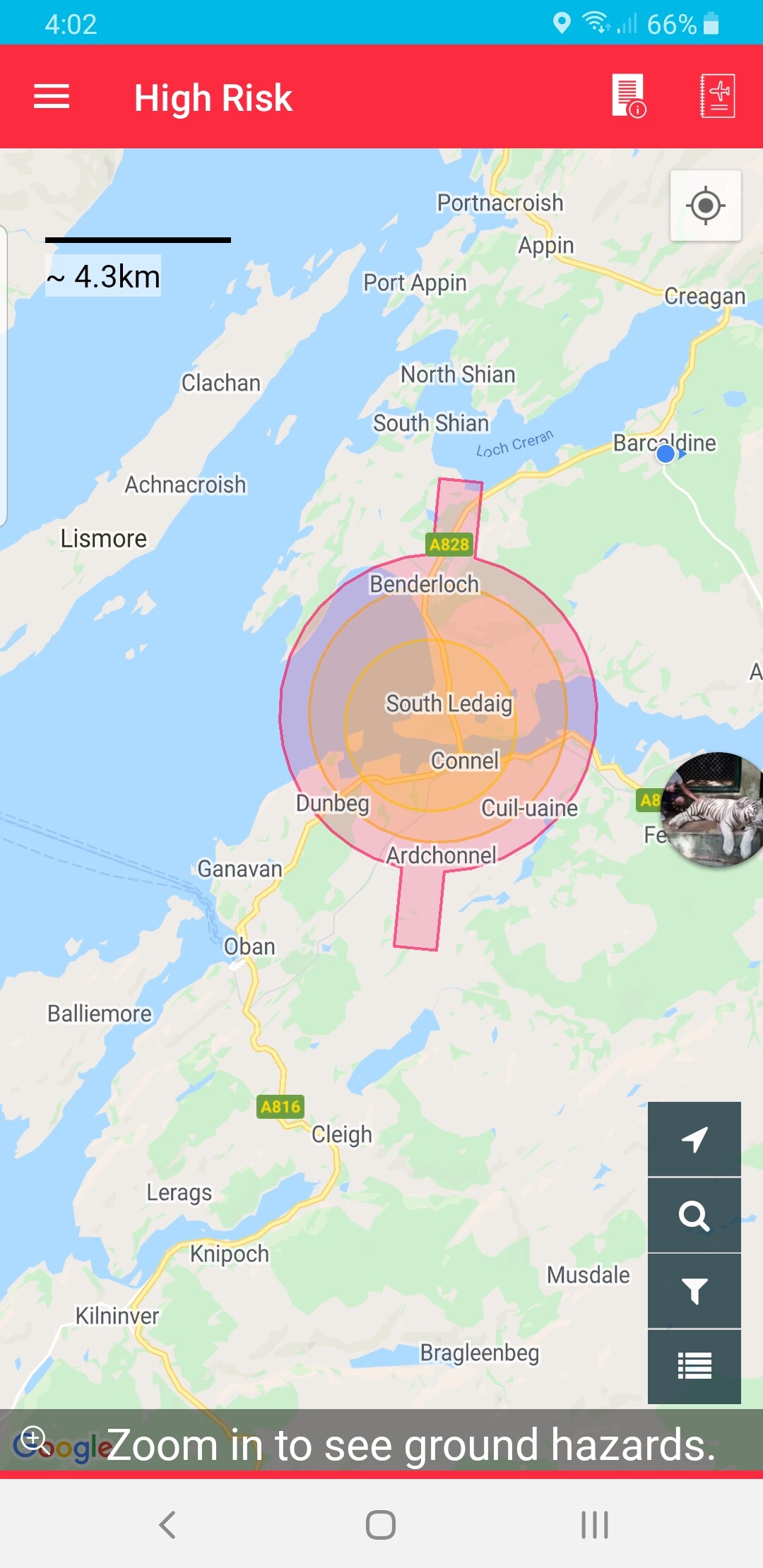
Do you know what the deal is with air ambulance helipads? I’ve just spoken to ATC at Oban airport and they say they’re not under ATC juristiction, and they wouldn’t generally file a NOTAM.
It just rattles you a bit when you think you know the rules and regs quite well and some smartarse comes along and says you’re illegal. I wouldn’t fly if I wasn’t reasonable confident of what I was doing.
Your re-quote made me sound like I was dissing drone scene, which I certainly wasn’t, it is a fantastic resource, which I often refer to. Well done with that, guys.
It was a FB post in a local group - of course! I never learn. It was a rather fine pano I posted actually, of a lovely green area which will be covered by 1,000 houses if the planners have their way!
I have had smarmy comments about photos i have posted on facebook “clearly closer than 50m from buildings”. Since zoom lenses and photo cropping dont seem to exist, I learned to just ignore them is the best policy.
Oh I was also asked if i had a licence to film in public, that was on the summit of Blencathera of all places, I just nodded and left them to it.