Open Drone Map - a serious alternative to Pix4d

I didnt know that either! I will have to give it a test.

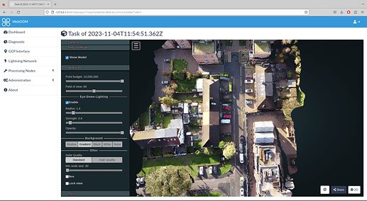
Using a 1m36 video at 50m shot with a mavic mini, just manually flow, no mission planning.
DJI_0218

Processing the raw video took 1h27m to give:-

Which is far better than Google Earth:-
![Screenshot_2023-11-04_18-07-19|690x379, 75%](upload://wEIurZM8m2X1RRIV4OCGpjBmvuw.png

Cloud upload: Task of 2023-11-04T18:57:18.675Z - WebODM Lightning

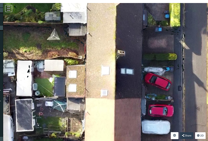
However the exported image is not very good at all. Also viewing at an angle is less smooth the google-earth.

This flying advice is to go to 120m which I will try next time, just spotted quick break in the rain before I have do do family taxi service.

2 Likes

Is there a link to an interactive 3D view that we can see?

And more up-to-date. :wink:

https://cloud1.webodm.net/public/task/105cb248-1e5a-49c5-bad9-be49dbccc75c/3d/
(Select textured model → Show model)

Not obvious but after processing locally, export the zip, then register at https://webodm.net/ (Free account)
Then
Login - WebODM Lightning