Nice shot of the hovercraft bbut there is a wee bit more work for you to do before we can award points:
All images for consideration must be posted in this thread with the number and name of the object claimed, the bonus points claimed, the time, date and location of the image and the drone used to take the picture.
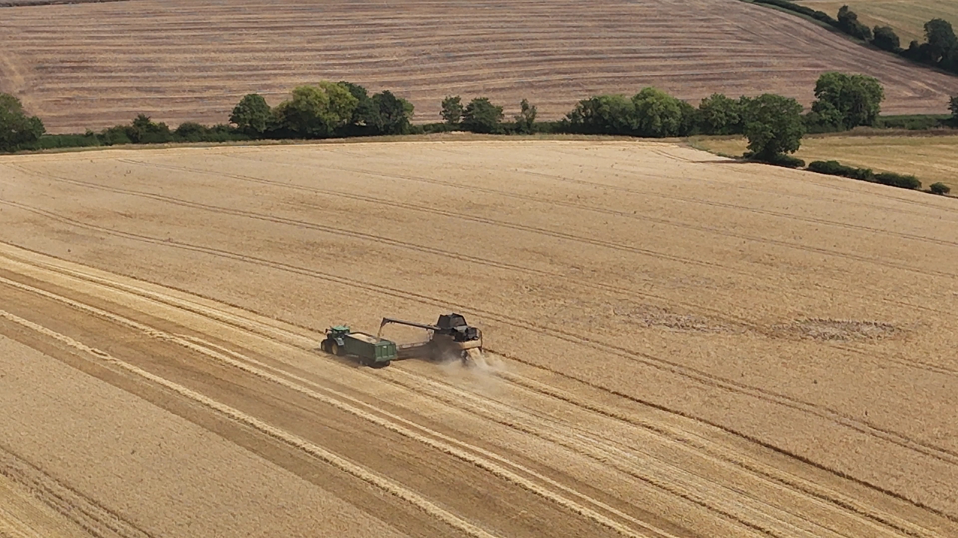
Yes, the A38 is a long road.
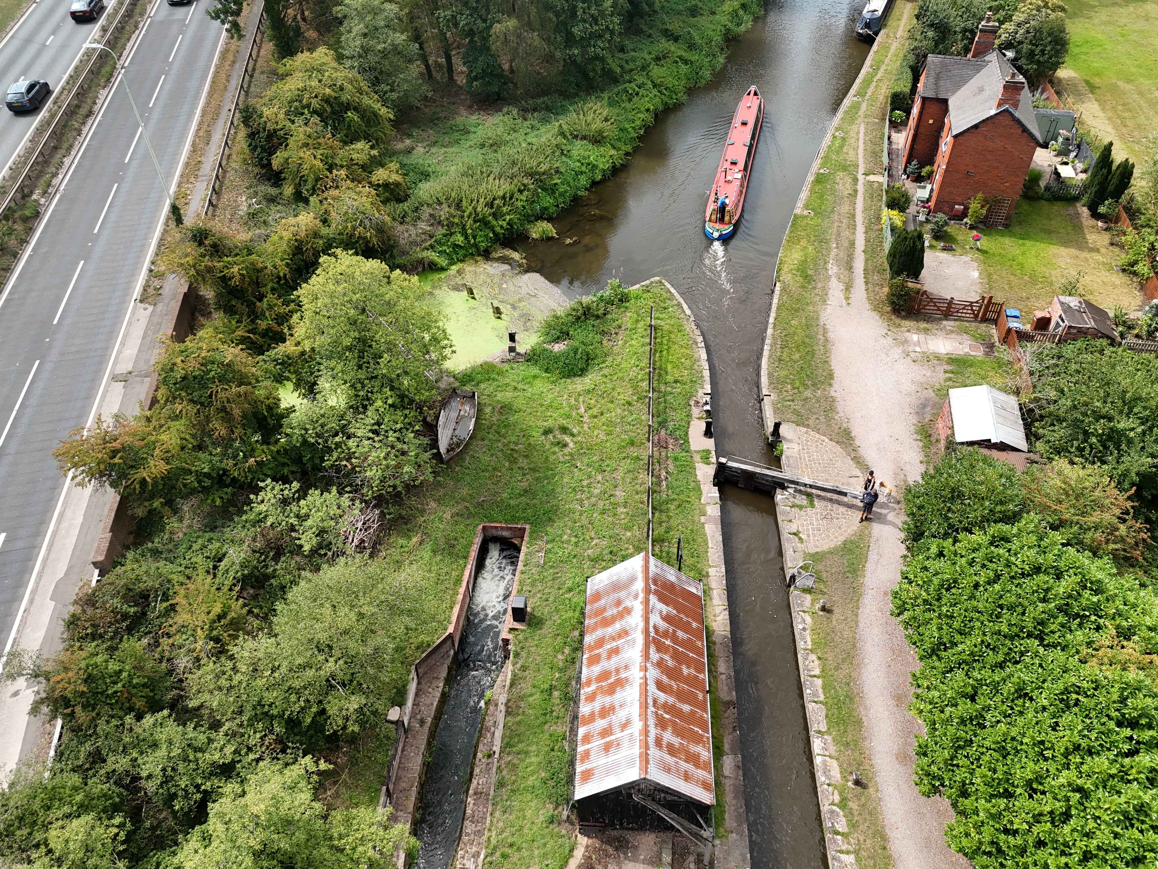
It is at Wychnor Bridges, 1 mile north of Alrewas (6 miles north of Lichfield) 400 yards south of Dogshead Lane.
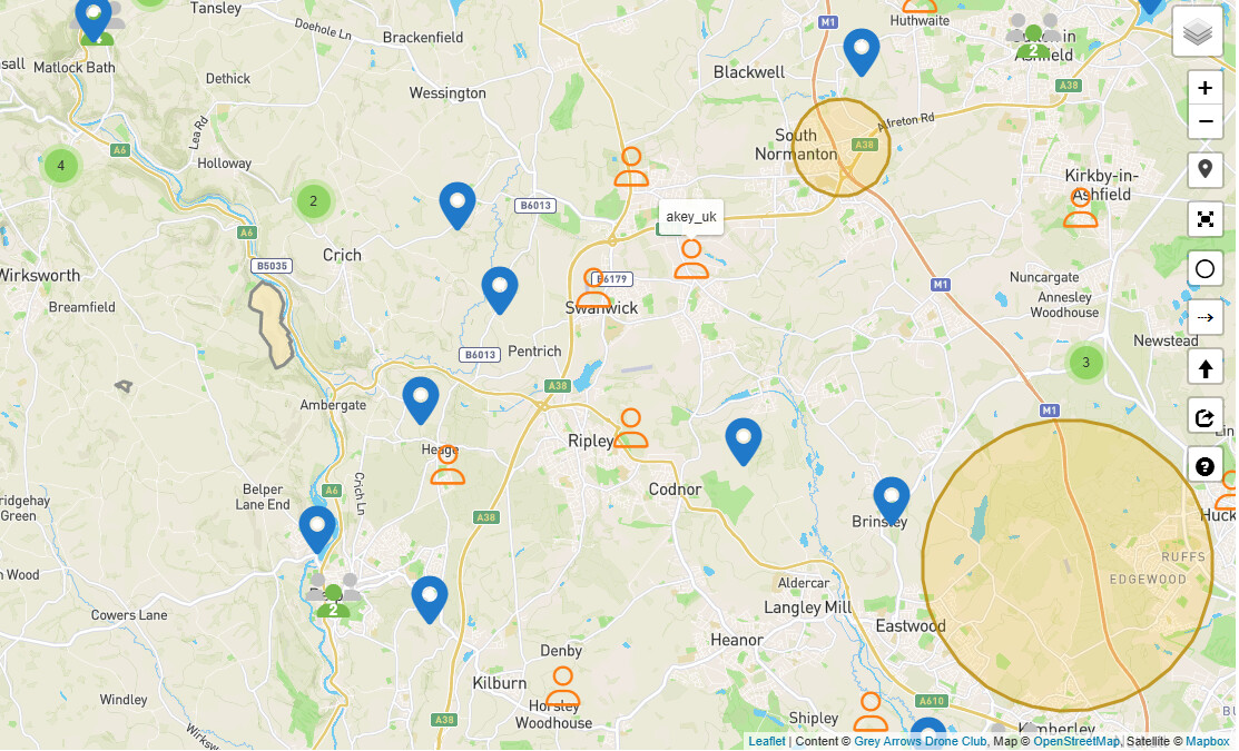
Or here OpenStreetMap
Cheers. It is a learning curve for me, but not as steep as getting to grips with hyperlapse. And Vimeo. And Kuula…
Looking forward to todays leaderboard though. I might not be last
If you need help with anything you can alwaysuse the search function rather than going it alone. You will normally find that, whatever the problem, someone has found a solution. Or ask us, happy to help
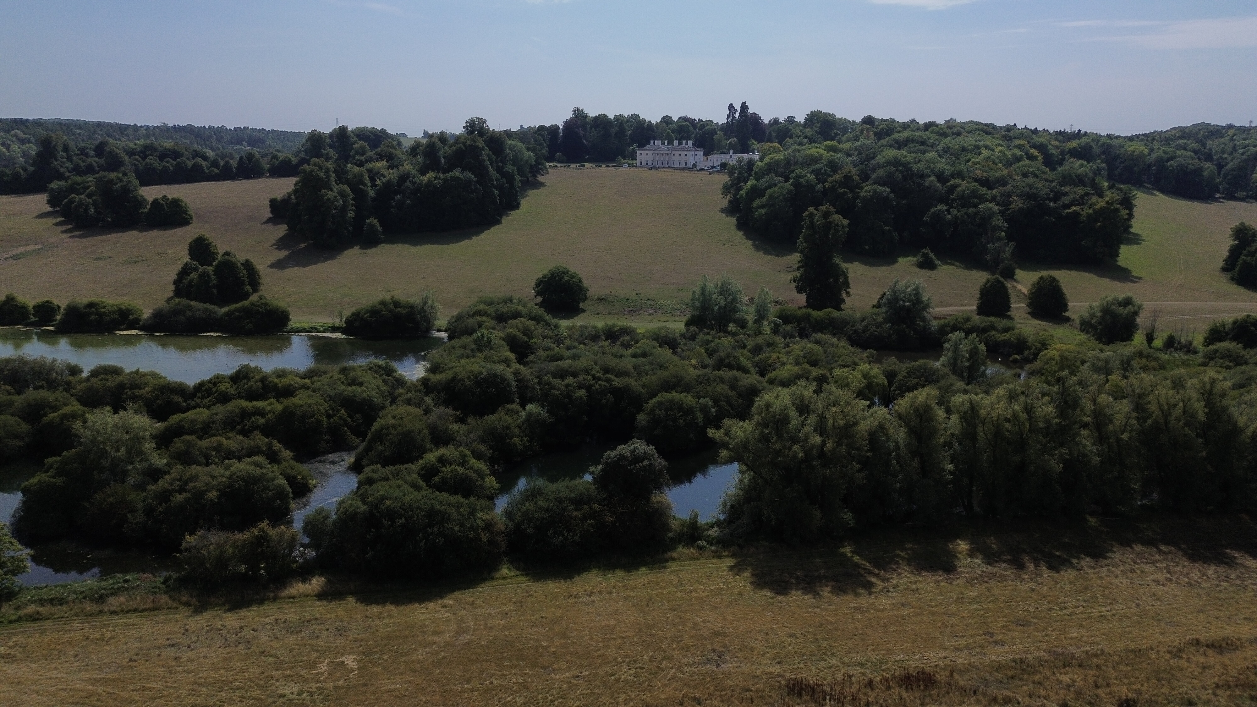
Location: A413 Layby, heading out of Amersham, looking towards Shadeloe House
Drone: DJI Mini 3
Time: 14:50 11/8/2023
This is my entry, apologies for slightly under exposed nature, due to strong sunlight, the RC was not easy to see all the details and missed the -3EV. Not the case for the other media submitted.
One of our judges moans about the bad sunlight performance of phones and tablets, not realising that the varifocals he needs to read the screen are also photochromic …
You seem to have gone for a full house - 5 points for the landscape with all conditions covered, five points for the video Joker
If anyone else has any tips for websites useful for planning flights - either for this challenge or in general - feel free to share them in here. Who knows, if we get enough suggestions we might make a thread about it
We use Google Earth and Google Maps,our own Drone Scene and County Rights of Way maps for planning which sites to fly and what hazaeds we may encounter. Drone Scene takes care of the aerial restrictions aspect, Googles Street View feature is great for checking for car park height barriers, charges, double yellow lines and the like The CROW maps are invaluable for working out accessand the occasional TOAL.
Most counties have a Rights of Way map somewhere on their websites these are the ones for West Sussex and Hampshire
WE use the Met Office app on our phones and also Airdata’s OKtoFLY for local forecasts, OKtoFly gives three days info for free or 14 days if you are registered for Airdata - it tends to be slightly pessimistic when it comes to wind strength.
"And when the trial period ends tomorrow you can lease the RoboArt 3000 AI for this very reasonable monthly sum … "
Is this the new era of automated art? Or will the price be just too high? Is the scoring going to be handed over to AI too? Click the Pic™ to see the Leaderboard while it is still under human control!
Bonus point for a normal still and a 360 degree panorama (hosted on Kuula)
Bonus point for a lake or similar body of water in the foreground
Bonus point if a building with its own Wikipedia entry is clearly visible in the picture (supply a link)
Total 9 points requested please good people of the committee, thank you.
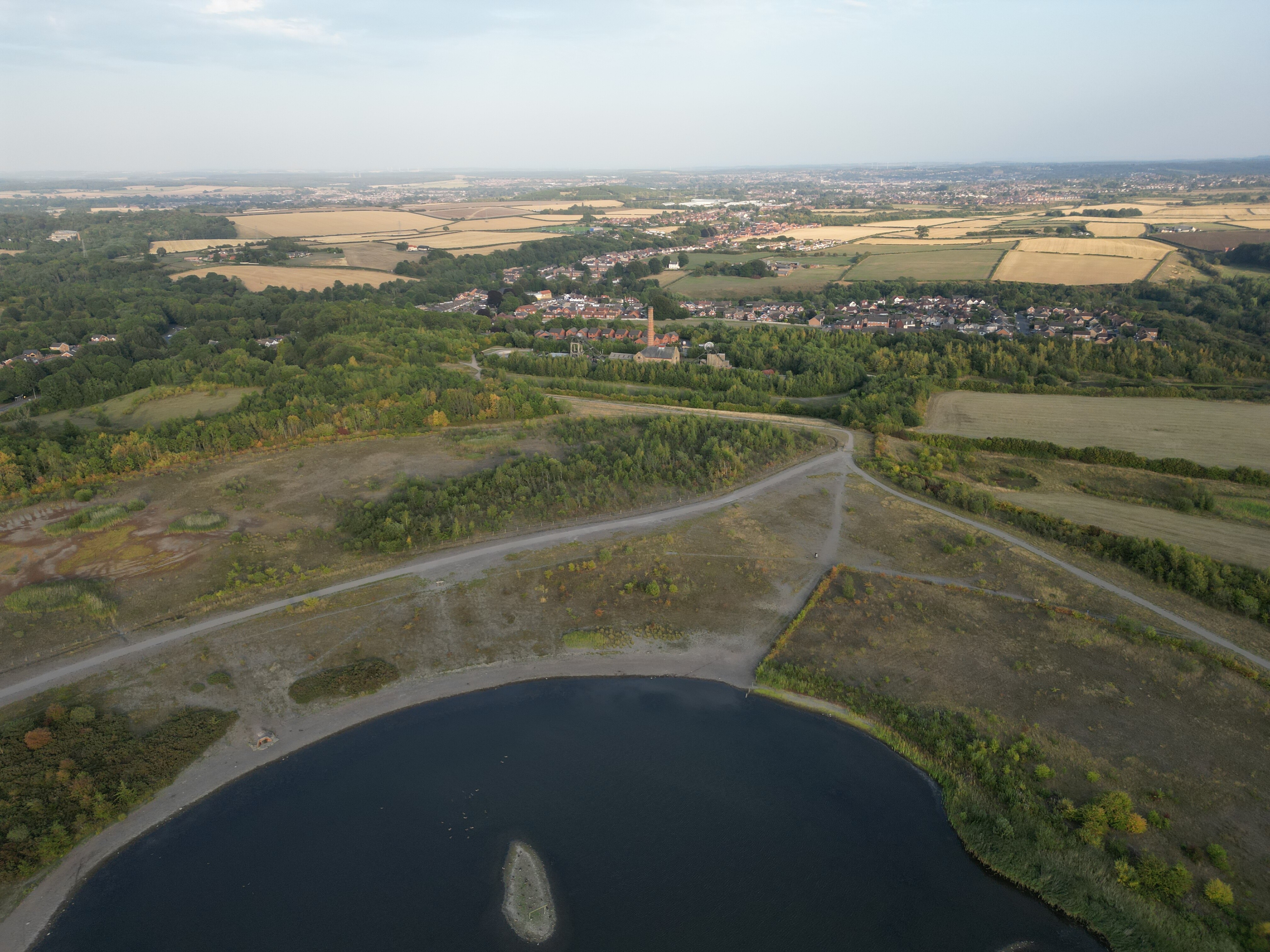
Once again headed back to this beauty of a site in Pleasley, a lovely walk with Mrs A, some flying and photography followed by a take away on the way home… what a cracking summer evening, thank you GADC for the motivation.
The chimney on the engine house saved you from interrogation about which of the buildings in the background belonged to the colliery and museum and which were Pleasley Village Mind you, now we have watched the video it’s a little more obvious.
As a matter of interest the wee island in the lake in the foreground has what appears to be a football goal on it. What’s going on? Any ideas?