A POW camp during WW2, Cultybraggan was a ‘black camp’, holding those considered the most committed and fanatical Nazi PoWs,
Ringleaders of the Devizes plot – to break as many as 250,000 PoWs out of camps across the country in 1944 and attack Britain from within, were sent to Camp 21 at Comrie. These included Feldwebel Wolfgang Rosterg, a known anti-Nazi who was sent by mistake. He was lynched, and five of the prisoners were hanged at Pentonville Prison for his murder, the largest multiple execution in 20th-century Britain
I claim 3 points
A Military site of either World War
Run as a tourist attraction
Drone Scene entry
Thanks for your entry @markas and welcome to the competition!
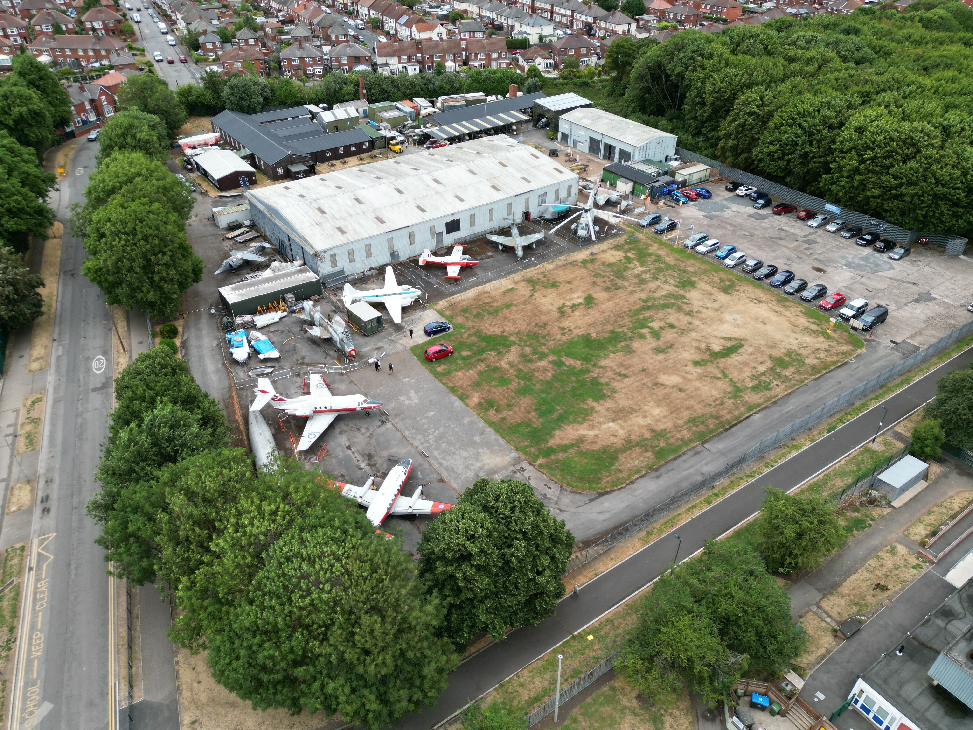
Please could you indicate where in the image the gate guardian can be found?
As per the Wikipedia definition:
A gate guardian or gate guard is a withdrawn piece of equipment, often an aircraft, armoured vehicle, artillery piece, or locomotive, mounted on a plinth and used as a static display near to and forming a symbolic display of “guarding” the main entrance to a site, especially a military base.
As a side note, please could we ask that you add a bit more detail to your DroneScene entry regarding what the site is, its history, facilities etc? Whilst it’s encouraging to see so many new DroneScene entries as part of the competition, it’s helpful to other forum users when trying to scope out new places to fly/visit.
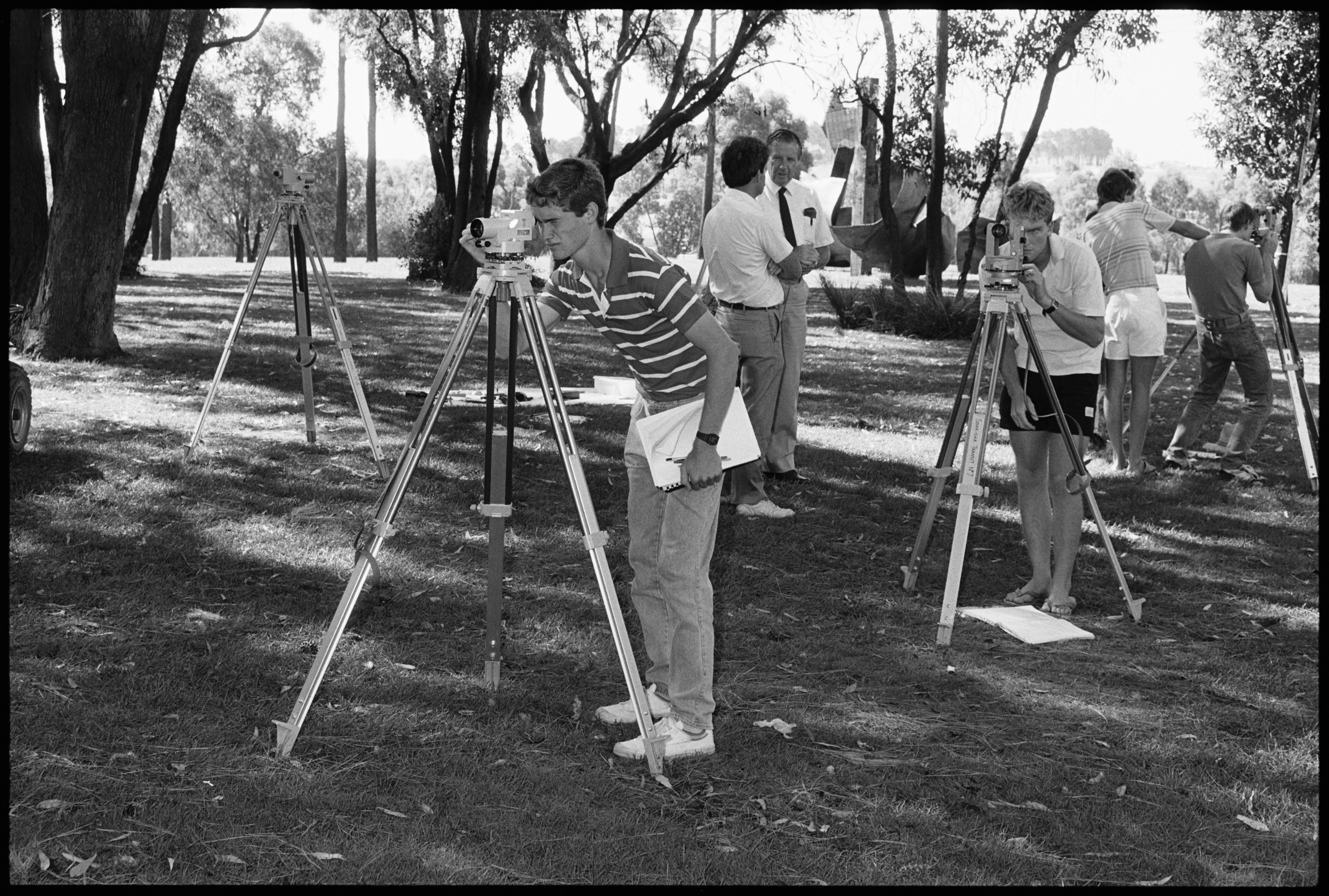
The selected interns were delighted to be outdoors on such a pleasant day, even though it meant tedious but exacting work determining precisely how isolated the isolated towers were.
I have a tower zinging its way to you via Germany tomorrow
I have ran out if entries for today, all I can say is that it was taken at 120mtrs up in 46mph gusts so I really didnt have time to pan about and double check. But I’m sure it’s valid after checking on Google, will you take my word for it,
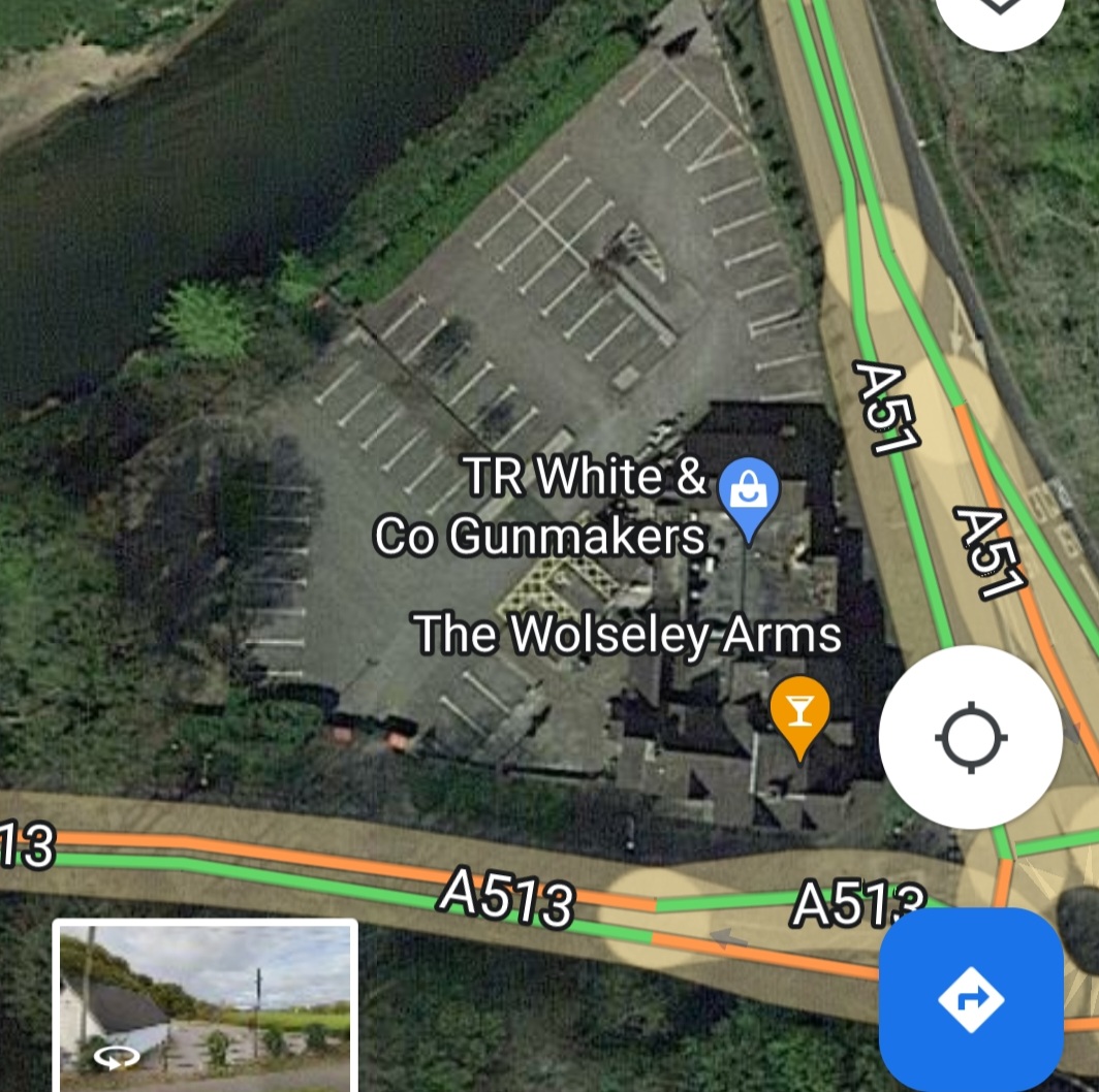
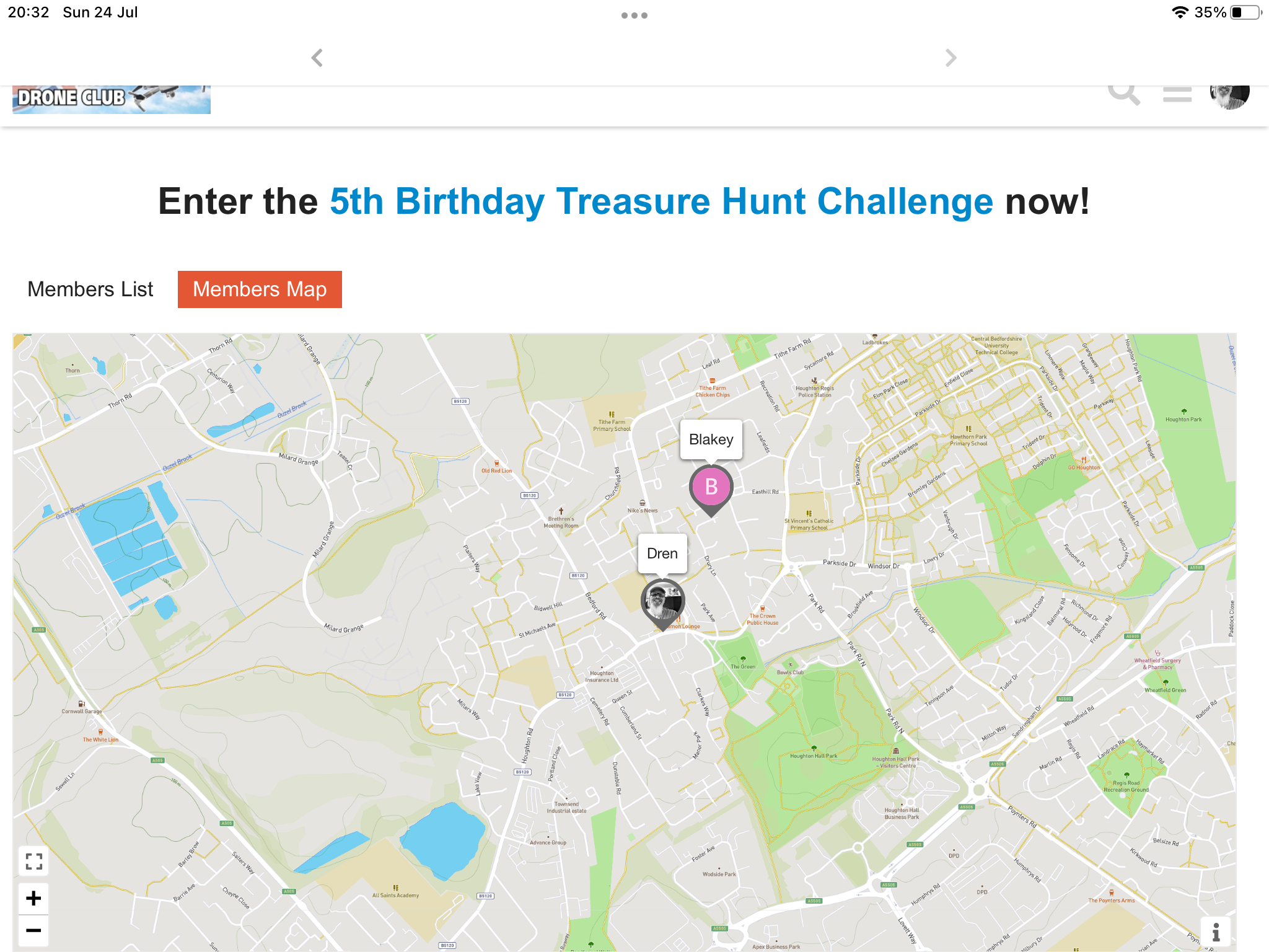
Adrian can you kindly add a link to your DroneScene entry (making sure that the location has been added to the entry), proof that the area is indeed an AONB or NSA, and a screenshot of your location on the members map (so we know that its in a location other than the county you live in). Plus info for which bonus points you are claiming. Then we can process your entry accordingly
We check tower photos, ideally just by looking because the nice photographer has included a radius of at least 150 metres around the tower. Otherwise we have to check on Drone Scene and, if higher resolution needed copy/past lat and long into Google Earth , If there is a building suspiciously close we use the measuring tool from nearest point of the tower to nearest point of the suspicious structure.
So checking for yourselves before going to take pictures may be a sensible idea, you guys who are reading this.
Always remember the (military, not marketing) 7 P’s