The Great Big GADC 6th Birthday and Treasure Hunt Challenge!

After a few “almost” tries, finally nabbed this one this evening.

2. Vehicle light trails (Still Image)

  • Bonus point if light trails are on a roundabout.
  • Bonus point if there are light trails on each of the roads serving the roundabout - minimum 4 roads.
  • Bonus point for Timelapse or Hyperlapse (seperate from main subject and other bonus points)
    Speeded up video is acceptable with a compression of atleast 5-1


Pocklington, DJI Mini 3 Pro 7/9/23
(The top left one is almost out of shot and the bottom left is a bit faint, but there’s four roads with trails)

Hyperlapse here:

The trails are on a roundabout
There’s trails on all 4 roads
The hyperlapse is there

So I make that 4 points, please.

3 Likes

And the other exciting trip I took my other half on was to a motorway bridge over a railway …

12. This may be your Mission Impossible - a railway track passing under a road bridge

  • 3 bonus points if a train is passing underneath the road bridge (not approaching or leaving) and there is a full-size articulated lorry (tractor unit and 40-foot or longer trailer) completely on the bridge. - i.e.within the confines of the bridge walls.
  • Bonus point if the truck cab colour matches Christie’s ornamentation of the aged Quercus.


Great Heck, Yorkshire. DJI Mini 3 Pro 7/9/23

There’s an articulated lorry on the bridge as the train is passing under the bridge
Sadly not the right colour :frowning:

So that’s 4 points I claim, please.

3 Likes

12. This may be your Mission Impossible - a railway track passing under a road bridge

  • 3 bonus points if a train is passing underneath the road bridge (not approaching or leaving) and there is a full-size articulated lorry (tractor unit and 40-foot or longer trailer) completely on the bridge. - i.e.within the confines of the bridge walls.
  • Bonus point if the truck cab colour matches Christie’s ornamentation of the aged Quercus.

    Laindon,07/09/23, 18:19, DJI Mini 3 Pro
    Claim: 1 Point please. Sadly no artic available.
4 Likes

1. An Illuminated Building (Must be illuminated from an external source)

  • Bonus point if the building is illuminated all around (360 degrees) and not just at the front.
  • Bonus point if the illumination colour matches a capital-increasing inquisitor, once a trans-Atlantic ferry pilot.

    Basildon, 07/09/2023, 19:36, DJI Mini 3 Pro
    Claim: 3 points please. Illuminated building 360°, Correct colour.
1 Like

Roundabout light trails - 4 points

Mission Impossible - 4 points (at the moment)

Just the one Mrs Wembley :frowning:

This illuminated building is causing us some grief.

We have already discounted another building lit from within and given our reasons

We can see no external light sources although were we barrack-room lawyers we could argue that the building is lit externally all the way around - by the sun which must be lurking above the overcast.

So we are rejecting your entry in its entirety but all is not lost, you are free to re-submit another picture showing a building lit externally by floodlights or similar of whichever colour you feel matches the cryptic clue :slight_smile:

The red light that is around the roof is the complete square in the middle of the roof these are neon light tubes and they run down the corners of the roof, each Pizza Hut sign on all 4 sides is alight, maybe the sun hadn’t gone down enough to show the illumination. If I tried again with this building in the dark would you accept the entry? Or is it a totally, definitely, NO.

1. An Illuminated Building

  • Bonus point if the building is illuminated all around (360 degrees) and not just at the front.
  • Bonus point if the illumination colour matches a capital-increasing inquisitor, once a trans-Atlantic ferry pilot.

I claim 1 bonus point for:

  • illuminated all around

Resubmission to comply with external illumination rule

Tower Bridge, London
16 Aug 2023 DJI Mini 2, unadulterated jpg
I claim 2 points please

4 Likes

23. A Flight - more than 120m above ground level - permissions must be obtained and shown in your posting - 3 points

I tried this a few ways—both flights and explanations—until I could find the most simple way to fly and try explain it. It still sounds complicated, sorry.

TL;DR
Flew drone 124.4m AGL near Ovingdean cliff. Using Pythagoras, distance to cliff face (closest point of the earth’s surface) was 96.98m—within the UK Drone Code’s 120m limit. Photo evidence includes aerial shots and app screenshots at various heights.

I didn’t seek special permissions from a building owner, I’m saying I obtained permissions when I got my Operator ID and Flyer ID, and I’m showing how the UK Drone Code allows my flight if flying where there are cliffs.

The Drone and Model Aircraft Code on 1 Aug 2023 said “Flying where there are hills, mountains or cliffs Your drone or model aircraft must never be more than 120m (400ft) from the closest point of the earth’s surface.“

I flew at 124m above ground level, but was less than 120m from the closest point of the Earth’s surface, because I was close to a cliff.

The flight was as follows: I was stood on a concrete path close the to bottom of the cliff, and I’m calling this ground level. I took off, flew straight up (no forwards/backwards/sideways movement) pausing at various heights to take photos and screenshots, then landed pretty much on the spot from where the drone took off.

I’m providing an aerial photo at 124.2m, screenshots, and an Airdata share link.

Drone photo was taken at 124.2m, the EXIF data says 124.2m

Screenshots show DJI Fly App, with screen saying the drone shown 1.1m (waist height), 29m (cliff height), 124m (max height)

Airdata seems to support what I’m saying: On ground shown as 0m. Very low hover shown as 1.1m. Cliff height 29.4m. Maximum height reached 124.4m AGL.

The cliff at Ovingdean West Sussex feels like it’s as near as damnit straight up and down. However it’s not perfectly vertical so I have taken this in to account in the maths. I took a straight down drone photo to get the lie of the land, and I estimate the horizontal distance from the top of the cliff to its bottom looks like 5 road lane widths so 20m.

I took a horizontal drone photo just below the top edge of the cliff, the drone was as 29.5m. I estimate the vertical distance from the top edge of the cliff is 124.4m - 29.4m = 94.8m.

So if the drone is 94.8m above the nearest terrain (cliff face) and 20m away from it (horizontally), we can use Pythagoras’ theorem to find how far away on the diagonal. If the adjacent sides are 94.9 and 20, square root of (94.9 x 94.9 + 20 x 20) is 96.98m.

In conclusion my claim is the drone was 96.98m from the closest point of the earth’s surface (permitted by the Drone Code), while at the same time it was 124m above ground level (meeting what’s required by the task). Coincidentally this was discussed by GADC members (unprompted by myself) after I made the flight in Drone off a Cliff edge
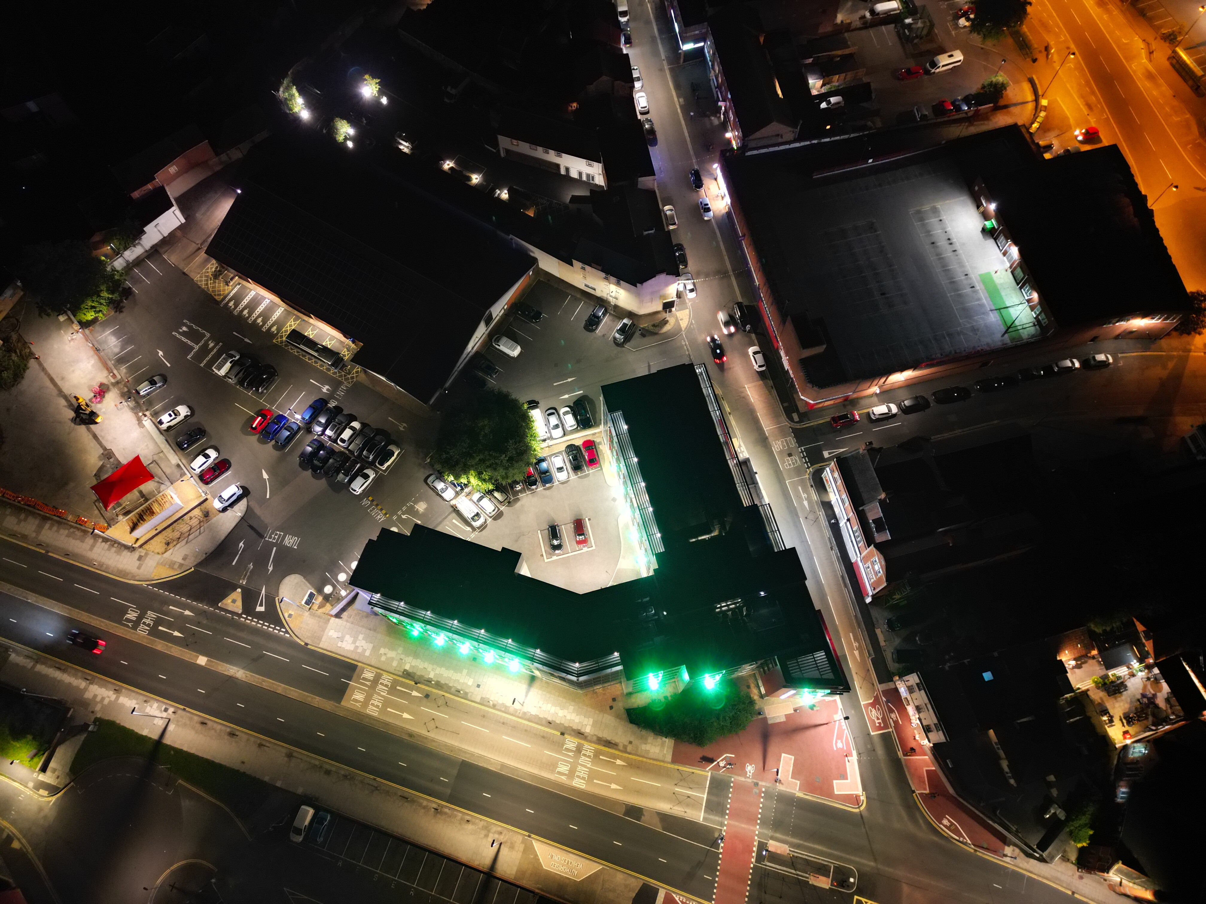
DRONE PHOTO


Drone photo 124.2m AGL


Drone Code Aug 2023 from
https://register-drones.caa.co.uk/drone-code/the_drone_code.pdf


3 Screenshots to measure horizontal and vertical distances.

AirData log share:

124m above ground level, Cliff at Ovingdean
1 Aug 2023 DJI Mavic Air 2, on a windy day with 31mph gusts
I claim 3 points please

1 Like

1. An Illuminated Building

This is the Reading Hexagon Theatre taken on 1st Sept at 8:13 pm with a DJI Mini 2

* Bonus point if the building is illuminated all around (360 degrees) and not just at the front.

  • Bonus point if the illumination colour matches a capital-increasing inquisitor, once a trans-Atlantic ferry pilot.

I was keen not to disturb the two campers in the bottom left, clearly keen to get first inline to some performance.

I heard from the lighting manager that they don’t light it up all the way around, he didn’t explain why but just confirmed that it’s lit up on 3 sides. Why you’d build a Hexagon theatre and not illuminate it all the way around escapes me but hey ho, at least now I can stop watching the webcam on the Spinnaker tower to see the colour.

Claiming one bonus point for the colour if it’s correct, hence 2 points please.

Thanks

2 Likes

Last one from me, as I’m away for the next couple of days…

18. An Agricultural Tractor - in a field. Still or video

  • Bonus point for 10-second hyperlapse.

Field adjacent to the A595 near Wigton in Cumbria, 28/08/23, DJI Mini 2

Still and timelapse, 2 points claimed please ( nothing for the red car ? )

1 Like

Wow what a explanation, like the permission guess most of us could give ourselves permission in that case lol

Shame it doesn’t fit with the CAA rules on when you can fly above 120m :slightly_smiling_face:

1 Like

It’s a no, Lynn, We are not after a self-illuminated building. If this were the case then any building with windows all around with the lights on at night, like an office block, would be acceptable.

The light source must be something other than the building itself. (But not just daylight!)

Andrew, could you supply us with the diagram that shows flying height from the surface from the latest edition of the drone code, please

Thanks for the re-submission, 2 points for Tower Bridge.

One point for illuminated building, Not long to wait to discover if your colour guess is correct :slight_smile:

Two points for tractor and hyperlapse.

The red car has no canoes on the roof and no house with solar panels adjacent - nul points

Thanks for your contributions to this Challenge!

1. An Illuminated Building (Must be illuminated from an external source)

  • Bonus point if the building is illuminated all around (360 degrees) and not just at the front.
  • Bonus point if the illumination colour matches a capital-increasing inquisitor, once a trans-Atlantic ferry pilot.

Mini 3 Pro - 7th September - Bridgwater

2 points claimed plus the bonus point if Green is correct

This is the best image to show it is illuminated all around - lights are all external spotlights.

Shows the colour from the front

Another angled shot

etc…

1 Like