When you take a pano shot normally you do it from a fixed perspective. I want to try and take a top down set of photos of a small island taking top down shots as I fly over it.
I want to then stitch them together in lightroom. My question is as I change my location the perspective/ angle to objects on the group will change. Will this either look crap in the finished picture or will Lightroom just say no?
The mission planning is more to make sure the angle and perspective is correct on every shot it automates the process to scan and shoot in one single “mission”
Microsoft Image Composite Editor is a panorama stitching program (no longer available from MS - but a search should find it available somewhere) that can take video and stitch into a panorama.
I’m guessing it’s really designed to turn a panned video, taken from one point, into a panorama, but it might be worth testing how it responds to a tacked video. Easy to create a test tracked video down your road with a GoPro, or similar, on your car.
First test - walking down my garden, hand-held, of the wall/fence on one side - remarkably good.
Not uploading - a) private, b) log video that would look crap even if the garden wasn’t genuinely a serious mess.
But - a quick video, long enough to be about the equivalent to about 3 pics edge-to-edge, complete with the inevitable up/down of waking (albeit a gimballed camera), and the brickwork giving a hint of the angle the camera was pointing down creating an (accurate!) trapezoidal stitched image … it’s actually done an epic job.
Worth a try, I’d think?
If the island is more than can be covered in one pass, you might then be able to stich the resulting images from 2 or 3 passes.
Obviously could be getting some distortion from this. Not certain. But overlaying a detailed map (OpenStreetMap ?) in PS you might be able to “stretch” identifiable points into place.
I need to do one down the road from the car … bike/, or even the Tesco trolley that someone’s abandoned at the back of my house. (Posh area I live in. )
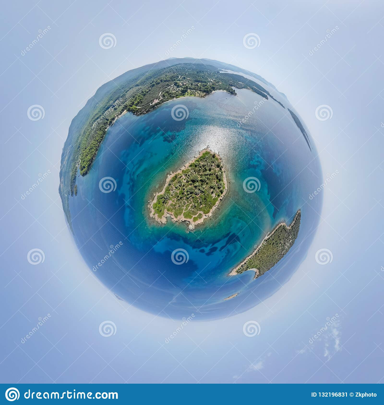
Im not gonna hide the location is Piel Island just off Barrow in Furness. Its about 450m by 250m.
Sounds daft but at 120m height you can fit the whole of the imperial war museum north into one shot and thats about 120m long and a good 20m off the ground.
So I hope I can do the whole island in about 10ish shots.
Dronedeploy, or Pix4D to take the images, you need to plan sufficient overlap for stitching and those will do that automatically. Then WebODM to combine them into a 2D orthomosaic, or one of the other orthomosaic software (dunno if the big online ones still do free trials?). QGIS is great for viewing the result.
Used that workflow to do mapping before with a P4P.

 )
) Still on the to do list.