These are the pseudocraters at Skútustaðagígar, Lake Myvatn, Iceland:
Geothermal area at Hverir, a little east from Myvatn:
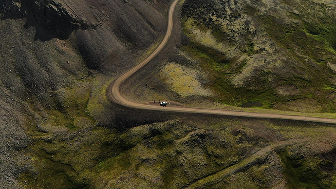
Route 917, the coastal route between Vopnafjörður and Egilsstaðir. It was a real relief when we drove up out of the mist on this rough, dirt track road!
Love that last one!  Well - love them all, like the foggy/misty/cloudy stuff, though.
Love these colours in it, too! 
These are all straight off the drone (M2Z) and into Kuula, no other editing. They will all have had a ND or ND/PL filter on the lens, though.
And here is one of my favourite spots, the canyon at Fjaðrárgljúfur, near Kirkjubæjarklaustur. No I couldn’t pronounce either of those!
That’s a stunning pano - and sells the Zoom as being no less impressive than the Pro. Superb detail - the power cables, the ripples on the water, etc. 
It sells Iceland rather well, too! 
They’re all impressive - but the one with the fog is just superb!
At some point I’ll share a video taken from inside that fog - it looks so fluffy and innocent from above, but it was a nightmare driving through it on a crappy road, and we very nearly turned back. So glad we didn’t - we got some of the most fantastic views once we emerged.
I’m new to all this and would love to know did you need to edit these photos at all or is this how they were captured raw? They look incredible.
Your answer is in the post
